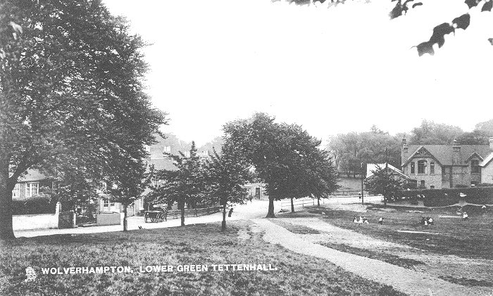
| Lower Green and the
Surrounding Area The village of Tettenhall
developed around two centres, Upper Green at the top of the
ridge, and Lower Green beneath. It is likely that the area
around Lower Green was the first to be developed, standing
as it does beside the parish church, and near to the Smestow
valley, where there would almost certainly have been an
ancient trackway between Aldersley and Compton, and beyond.
There may have been a trackway there since Roman times
stretching between forts at Penkridge and Greensforge, just
south of Wombourne.
Christians have worshipped here for a long time.
There was a church on the site at the time of William the
Conqueror's Domesday Book in 1086, and some church land. When
the Domesday survey was carried out, the village would have
been a tiny hamlet with just a handful of dwellings. |
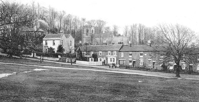
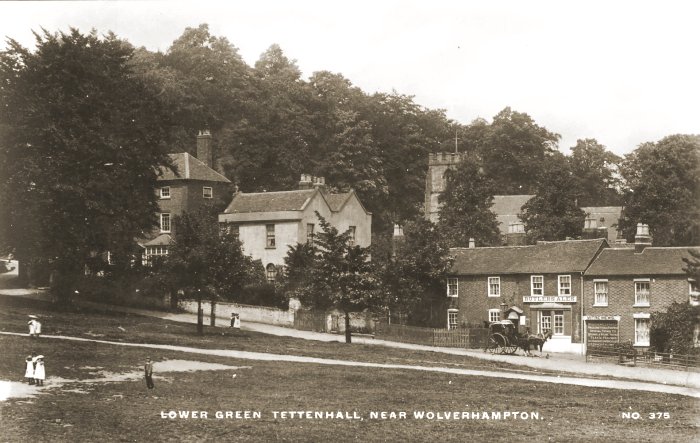
A view from near the top of Lower Green
showing the well-recognised buildings on the northern side of the
green. On the far left behind the trees is The Green House, with The
White House to the right. Next door is the Mitre Inn, and to the
right is Mitre Terrace, built in 1878. The church of St. Michael and
All Angels is in the background. |
|
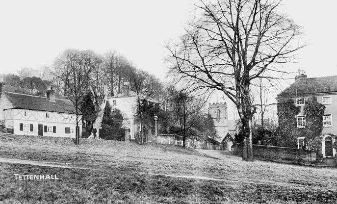
The top end of the green with
Church Road on the left. |
|
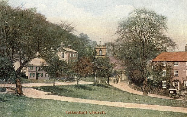
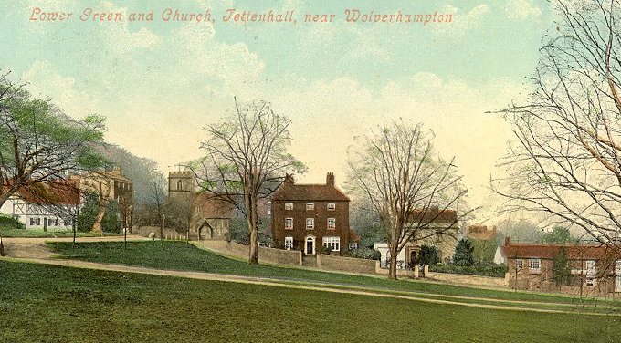
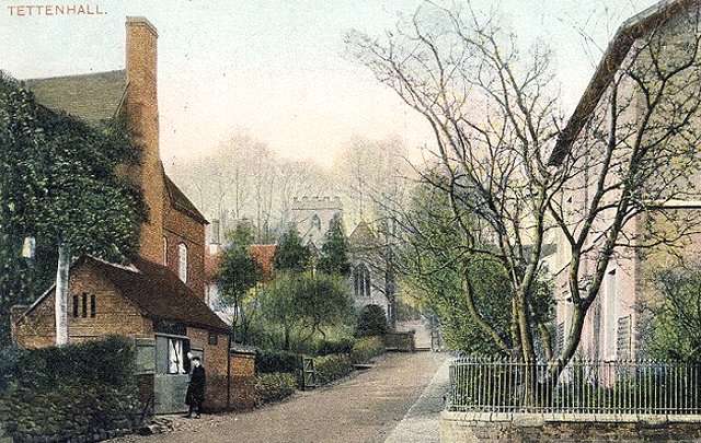
A view of the church from Lower
Green. |
Another view of the church from
Lower Green with 'The House by the Church' to the left
and 'The Green House' to the right. |
An earlier view looking towards
the Mitre Inn. The sign on the right labelled 'Mitre
Mews' advertises facilities for broughams, landaus, and
wagonettes, with special terms offered for weddings, and
picnic parties. Teas could be provided, and
accommodation was available. The proprietor was Mr. A.
R. Rowley. |
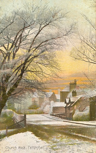 |
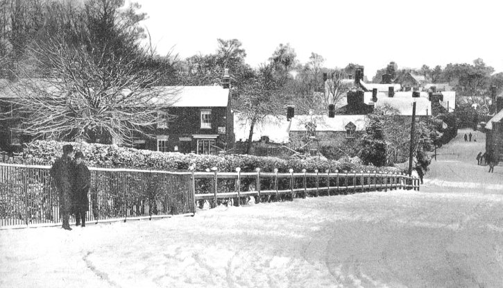
A wintry view of Church Road
looking towards The Rock.
On the left is Lower Green, and in
the distance is the Rock Hotel in Old Hill. |
|
A more modern view from the
junction of Church Road and Lower Green, which has
hardly changed. |
|
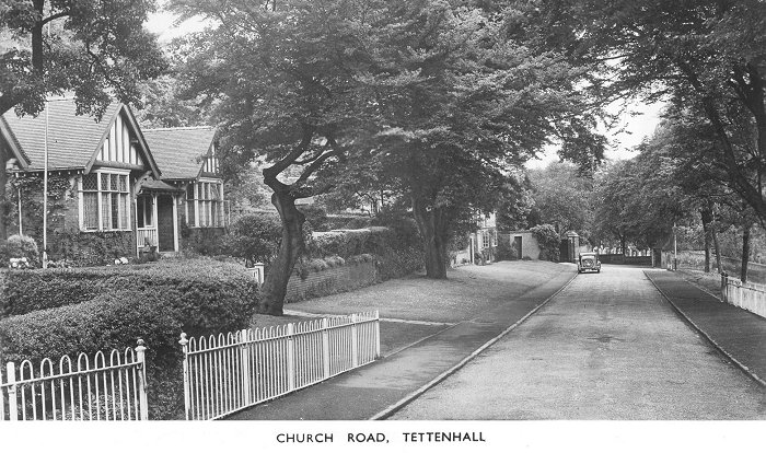
An old view looking along Church
Road towards the church. |
|
The same view, possibly from the
1930s. |
|
A final view of Church Road,
looking towards The Rock and Old Hill. |
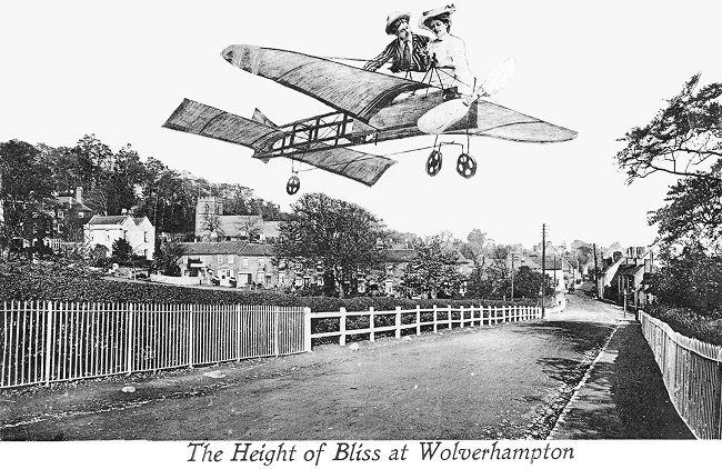
An amusing postcard from the early
20th century, consisting of an early aeroplane and crew,
superimposed on the photograph. |
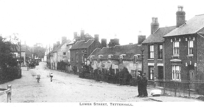
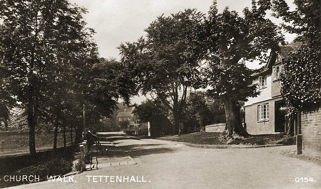
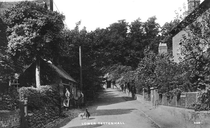
Lower Street in the snow.
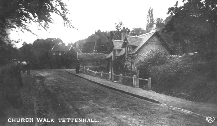
Looking into Church Walk from Lower Street
with the once well known butcher's shop on the left.
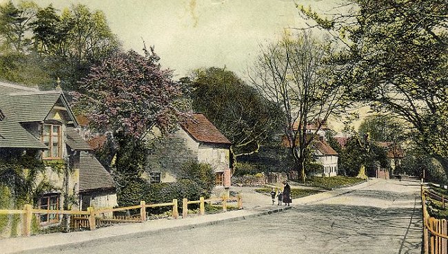
A final view of Church Walk.
 |
|
|
|
|
Return to
Upper Green |
|
Return to
the contents |
|
Proceed to
Tettenhall Church |
|